Log in
All resources
Create a design
72,641 Free Images of Early World Maps
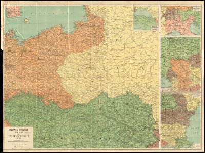
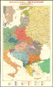
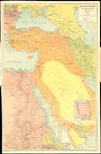
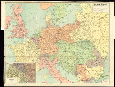
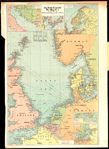
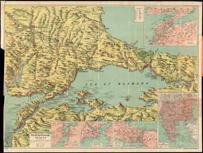
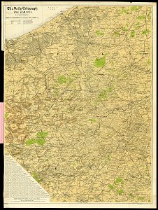
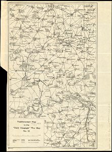
maps of world war i by the daily telegraph
popular science monthly illustrations/volume 16
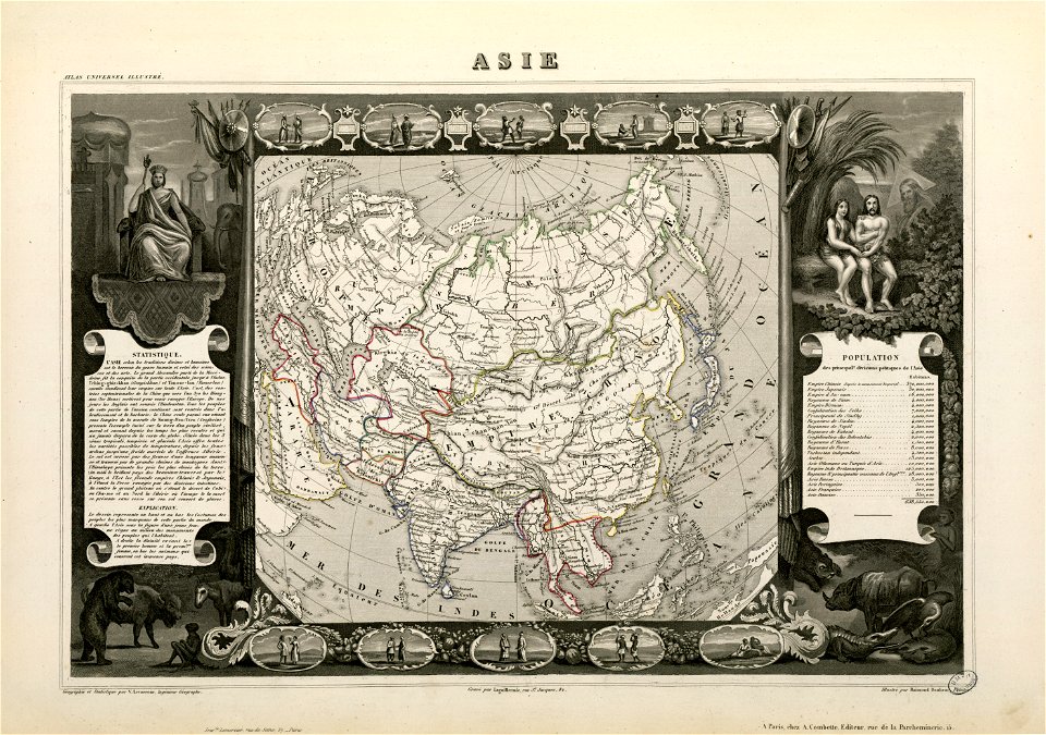
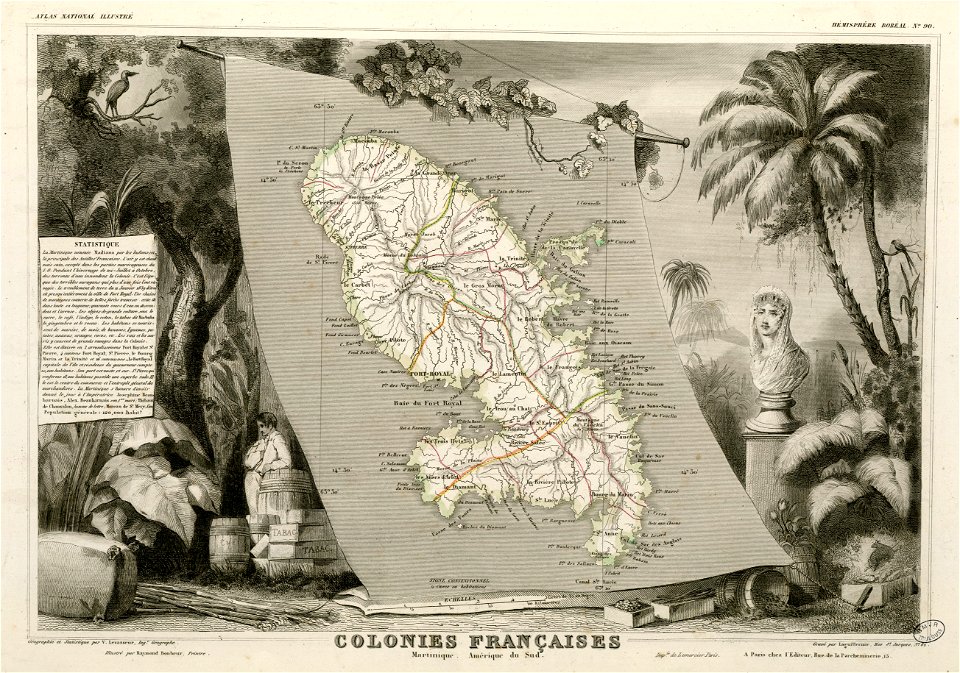
victor levasseur - maps of the world
fonds ancely - bibliothèque municipale de toulouse - maps
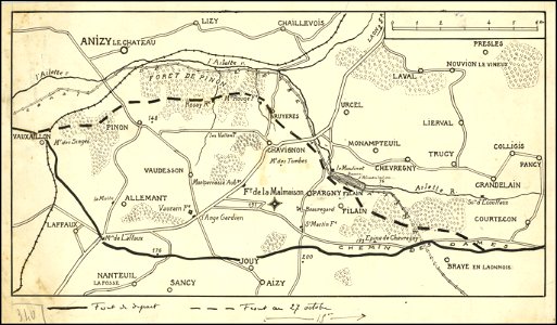
hand-drawn maps and views of world war i battlefields by h.m.
frédéric-auguste laguillermie
description de l'universe
1590s maps of the world
charts and maps of the royal museums greenwich
latin-language maps
maps of world war i by the daily telegraph
maps of world war i by the daily telegraph
maps of world war i by the daily telegraph
maps of world war i by the daily telegraph
maps of world war i by the daily telegraph
maps of world war i by the daily telegraph
maps of world war i by the daily telegraph
maps of world war i by the daily telegraph
maps of world war i by the daily telegraph
maps of world war i by the daily telegraph
maps of world war i by the daily telegraph
maps of world war i by the daily telegraph
maps of world war i by the daily telegraph
maps of world war i by the daily telegraph
maps of world war i by the daily telegraph
maps of world war i by the daily telegraph
maps of world war i by the daily telegraph
charts and maps of the royal museums greenwich
1590s maps of the world
charts and maps of the royal museums greenwich
1590s maps of the world
maps in the national library of australia
matthäus merian
world war ii in rennes
old maps of rennes
charts and maps of the royal museums greenwich
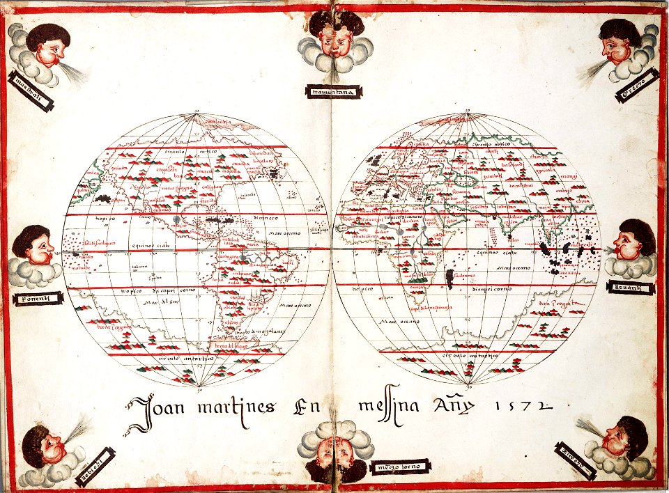
1572 maps
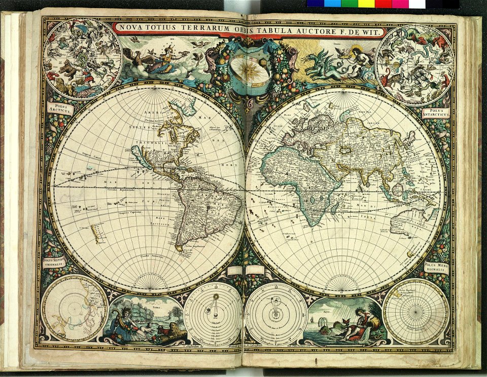
maps by frederick de wit
copper engraving
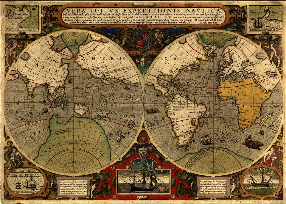
francis drake
1577
old maps of frisland
maps by coronelli
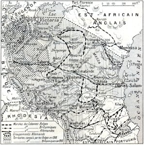
african theatre maps of world war i
no 3908 illustrations
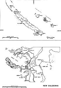
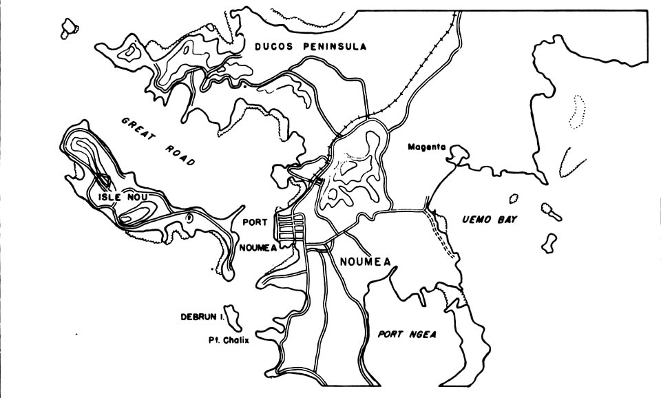
nouméa in world war ii
nouméa
nouméa in world war ii
nouméa
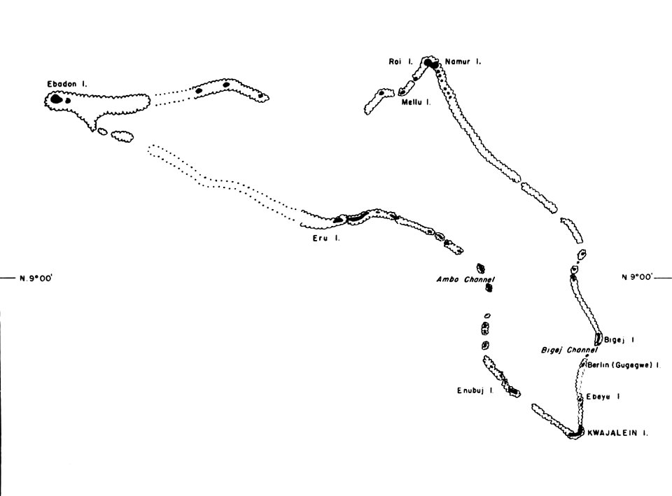
kwajalein atoll during world war ii
maps of kwajalein atoll
maps by frederick de wit
1660s maps of the world
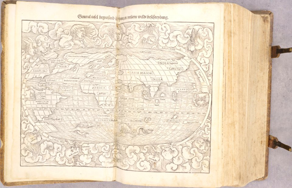
donnus nicolaus germanus
latin-language maps
1590s maps of the world
frans hogenberg
hand-drawn maps and views of world war i battlefields by h.m.
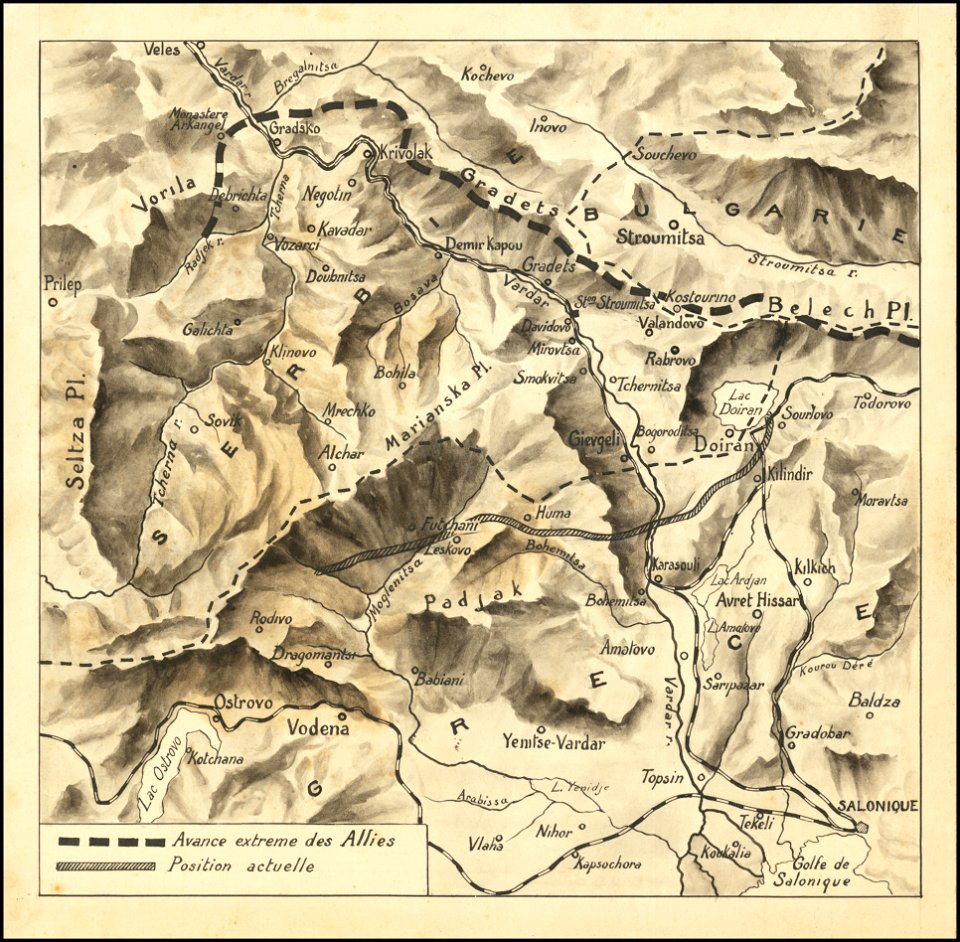
macedonian front maps
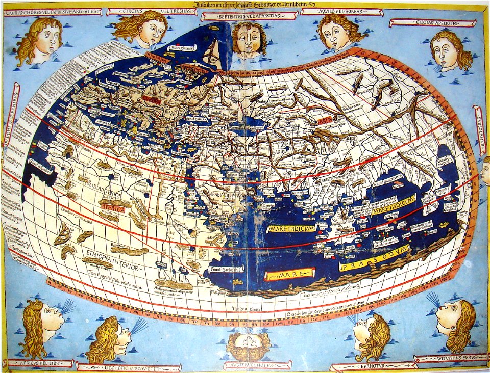
cosmographia claudii ptolomaei alexandrini
latin-language maps
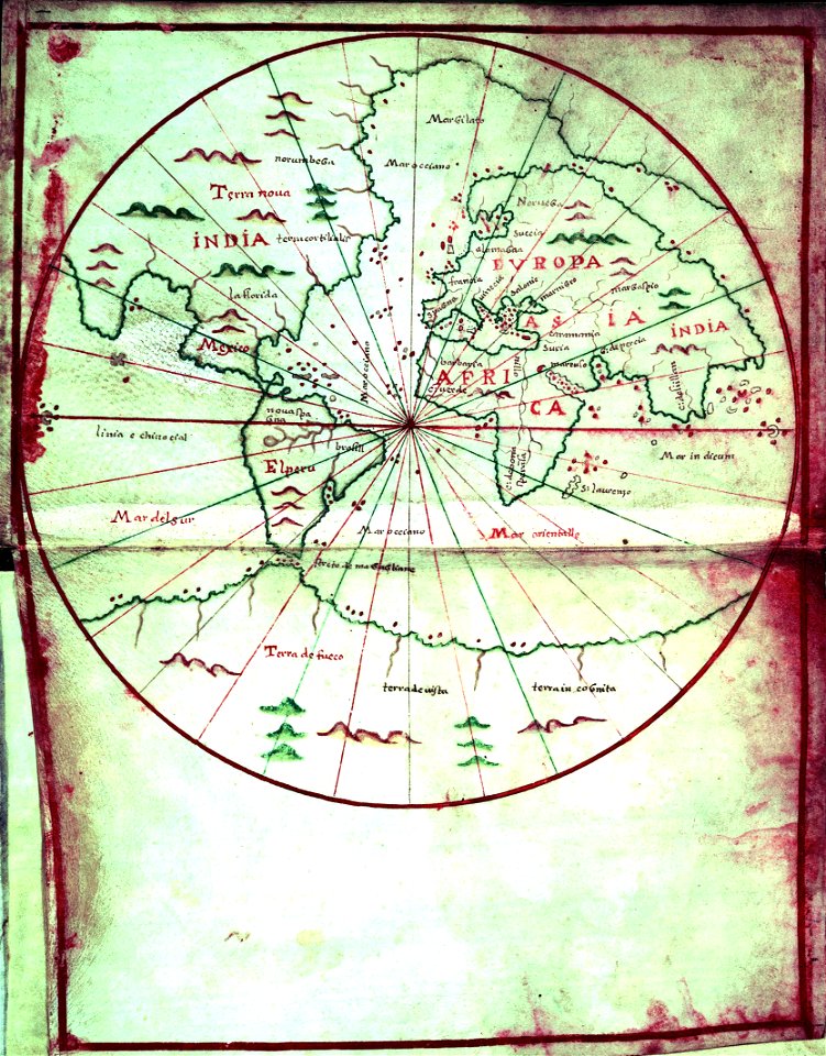
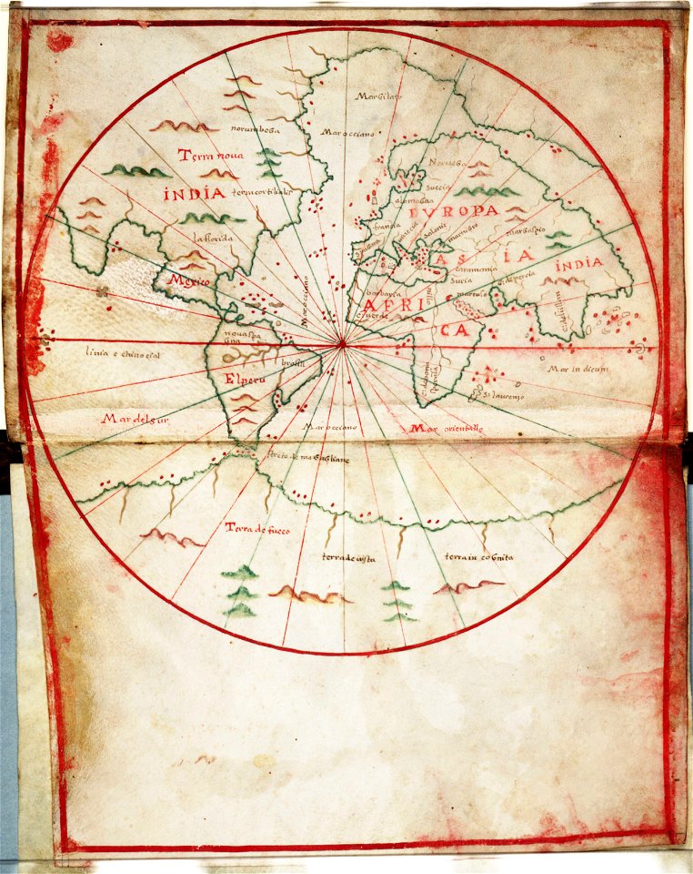
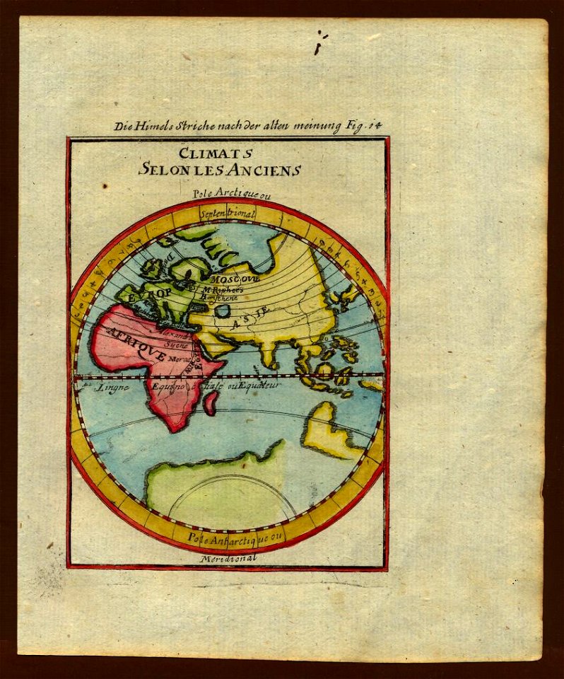
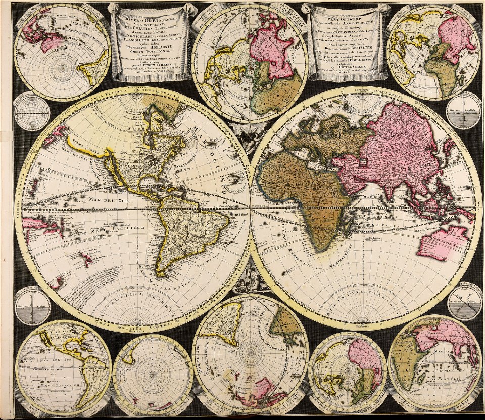
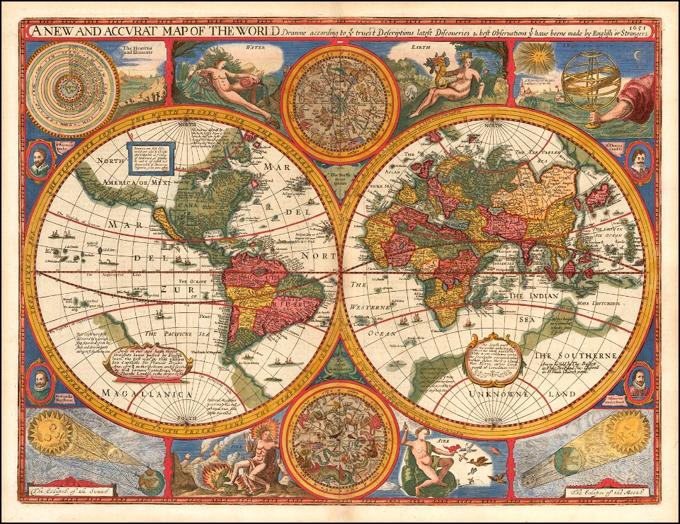
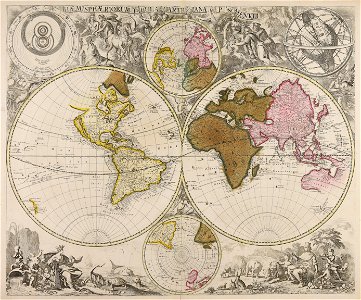
old maps of earth's hemispheres
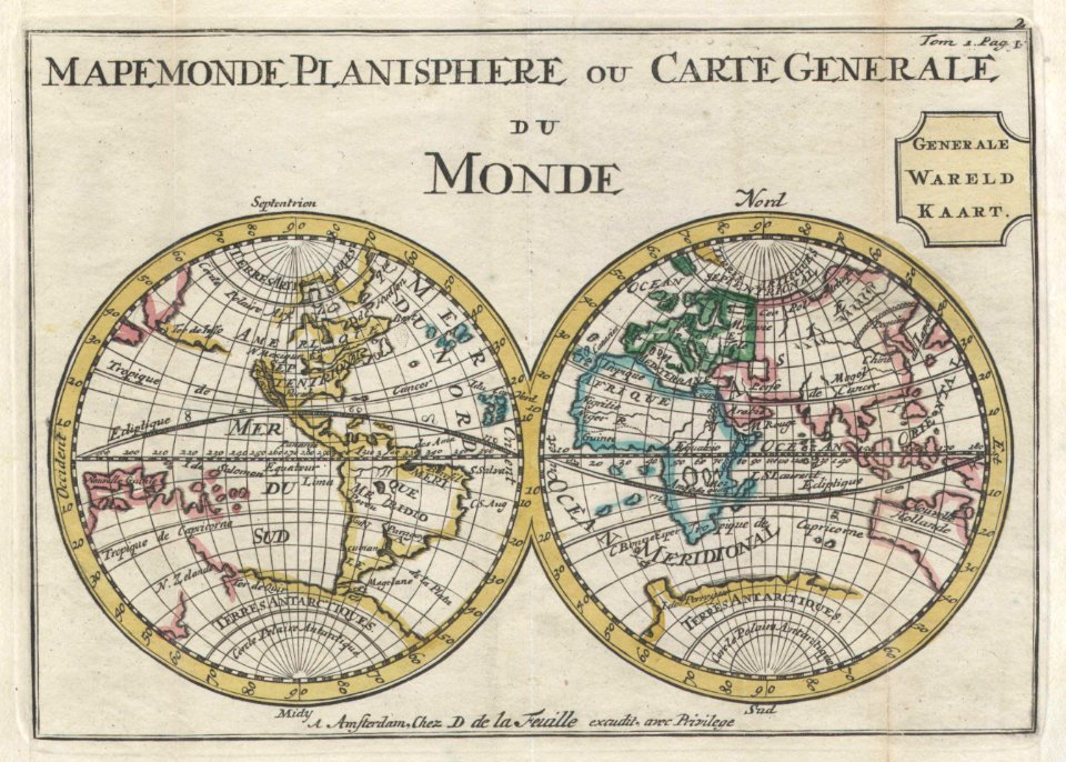
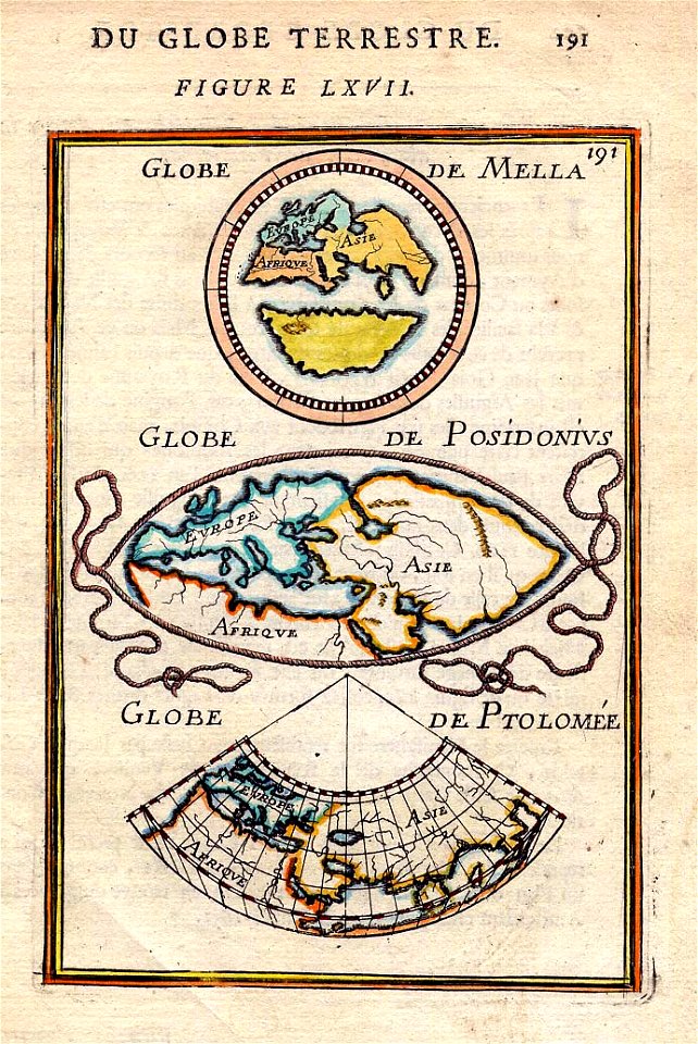
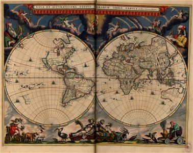
double hemisphere world maps
cornell: persuasive cartography: the pj mode collection
cornell university library
1870s maps of the world
latin-language maps
description de l'universe
1680s maps of the world
1550s maps of the world
1552
description de l'universe
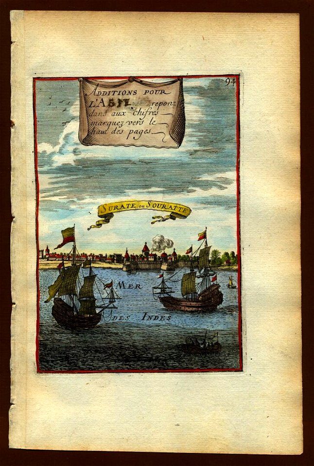
alain manesson-mallet
description de l'universe
alain manesson-mallet
description de l'universe
alain manesson-mallet
prints from the peace palace library
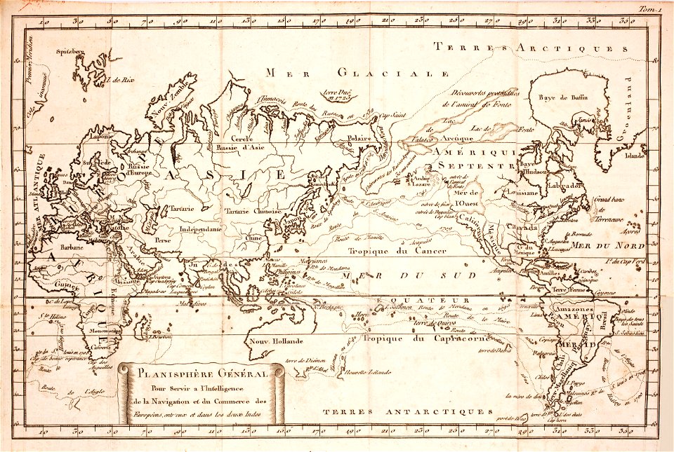
1770s maps of the world
kaart van het baljuwschap kennemerland
maps in the rijksmuseum amsterdam
19th-century satirical maps
1870s maps of the world
maps in the national library of australia
claes jansz. visscher (ii)
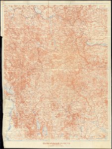
hand-drawn maps and views of world war i battlefields by h.m.
old maps of albania
annunciation by hans memling - metropolitan museum of art - ca. 1480s - 1975.1.113
early netherlandish painting
the apostle paul (rembrandt, 1657)
dutch golden age painting
human feet in art
mannerism
raphus cucullatus in 17th century art
dutch baroque architecture
victor levasseur - maps of the world
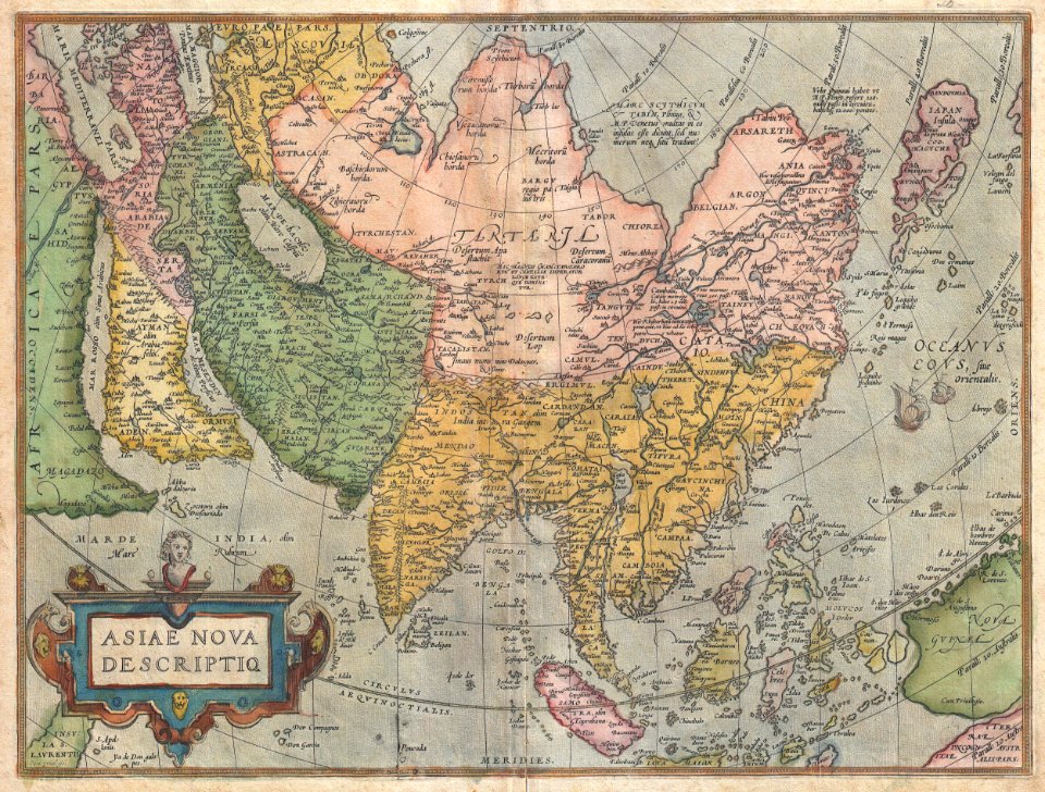
old maps of asia
atlantis magni tomus primus (biblioteca comunale di trento)
maps by pieter schenk (i)
allegories of the four elements
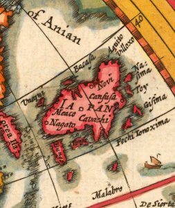
islands of california
1620s maps of the world
1621 maps
old maps of the middle east
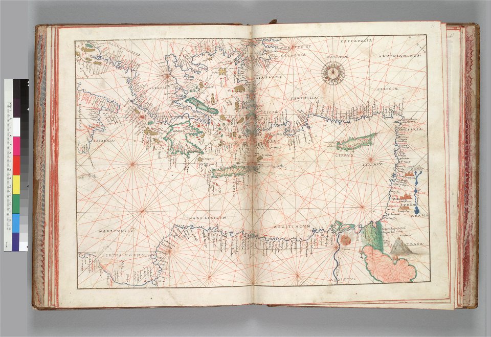
old maps of greece
english-language maps
maps of voyages
maps of del norte county, california
1866 maps of california
mercator projection
sugar industry
hand-drawn maps and views of world war i battlefields by h.m.
hand-drawn maps and views of world war i battlefields by h.m.
hand-drawn maps and views of world war i battlefields by h.m.
popular science monthly illustrations/volume 16
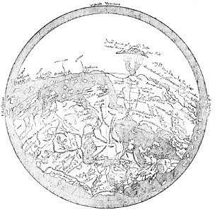
ancient greek maps of the world
popular science monthly illustrations/volume 16
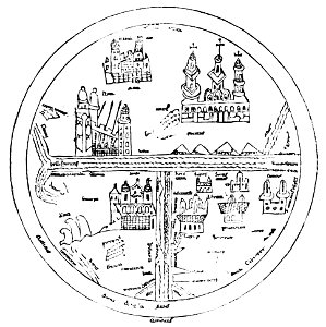
10th-century maps of the world
popular science monthly illustrations/volume 16
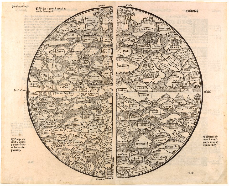
12th-century maps of the world
popular science monthly illustrations/volume 16
ancient greek maps of the world
popular science monthly illustrations/volume 16
11th-century maps of the world
allegories of the four elements
islands of california
victor levasseur - maps of the world
frédéric-auguste laguillermie
valleys and canyons on mars
mars topography
19th-century maps of africa
maps with figures
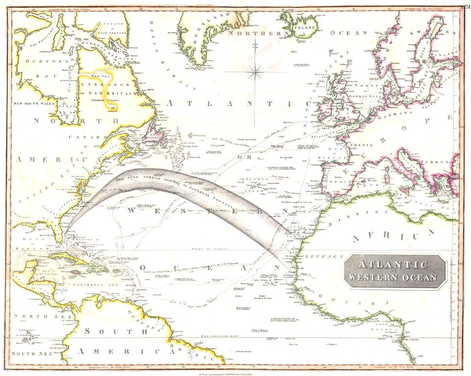
old maps of the atlantic ocean
maps of the north atlantic
hand-drawn maps and views of world war i battlefields by h.m.
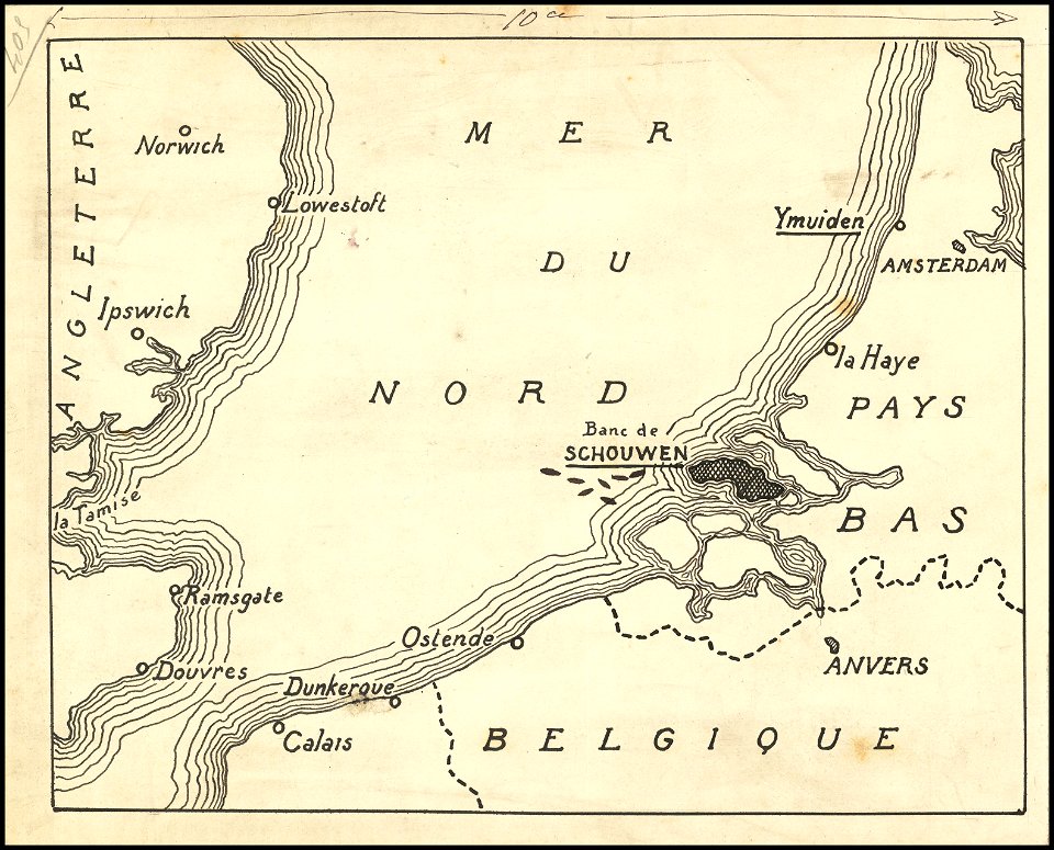
old maps of the english channel
ukiyo-e by unknown artists
1870s maps of the world
double hemisphere world maps
copper engraving
details of 18th-century portrait paintings
robert burns by alexander nasmyth
maps of world war ii in europe
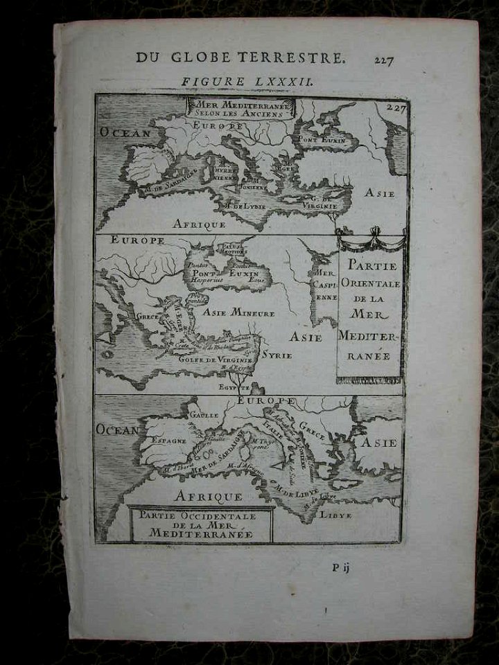
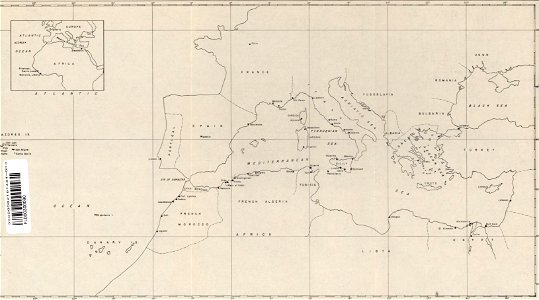
maps of the mediterranean sea
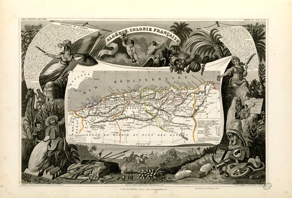
old maps of algeria
french algeria
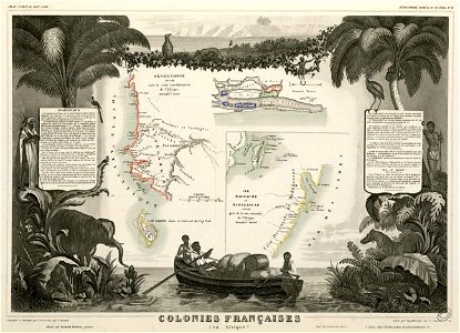
victor levasseur - maps of the world
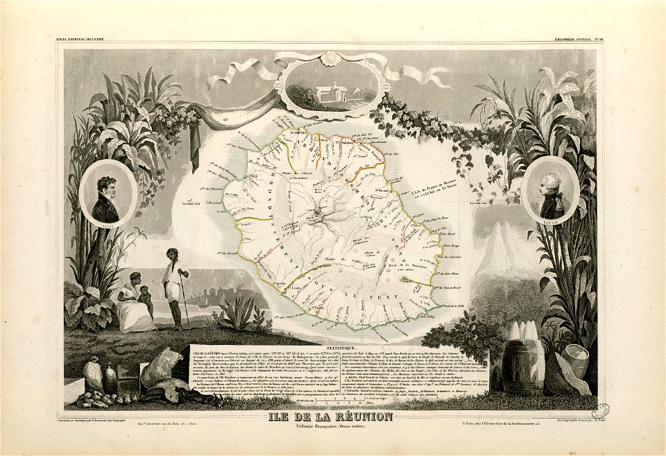
old maps of réunion
victor levasseur - maps of the world
old maps of senegal
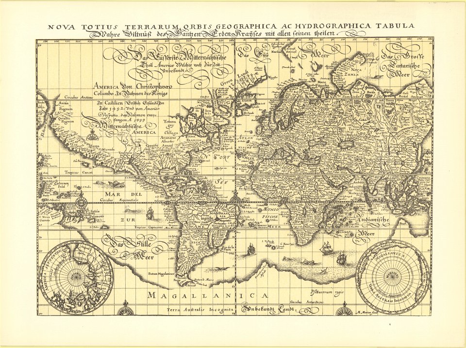
18th-century maps of the world
armillary spheres in art
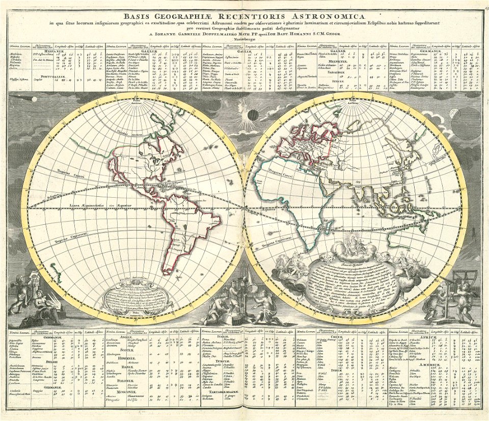
„atlas coelestis in quo mundus spectabilis“ by j.b. doppelmayr
double hemisphere world maps
cosmographia - beschreibung aller lender durch sebastianum munsterum (1545)
1540s maps of the world
„atlas coelestis in quo mundus spectabilis“ by j.b. doppelmayr
double hemisphere world maps
popular science monthly illustrations/volume 16
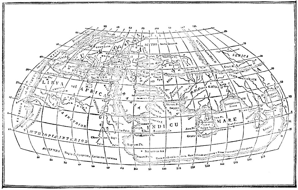
eratosthenes
baptism of pocahontas by john gadsby chapman
jamestown, virginia in art
early modern netherlandish cartography
maps with cartouches
media from stadsarchief rotterdam
baroque
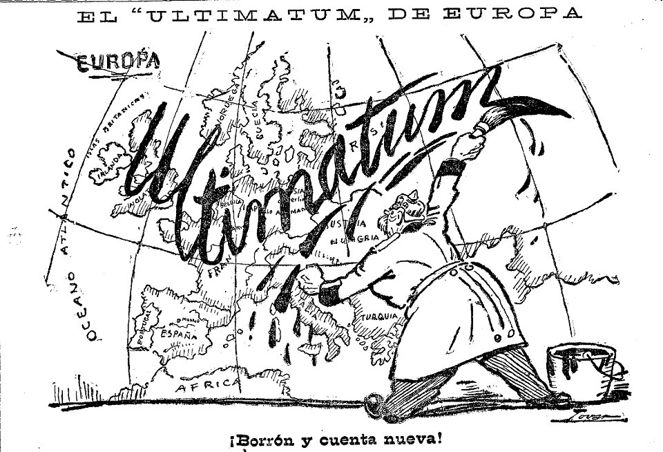
caricatures by manuel tovar in el imparcial
1914
labors of the months in tres riches heures du duc de berry - june
early netherlandish painting
illustrations of cosmographia (münster)
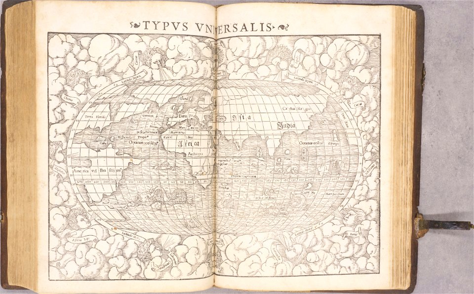
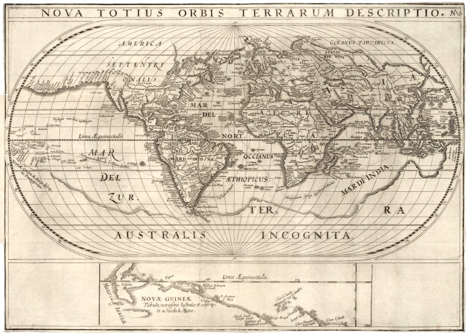
old maps of the world
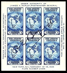
1934 stamps of the united states
blue stamps
popular science monthly illustrations/volume 34
navigation compass
musée du panthéon national haïtien
richard evans (painter)
paintings from italy in the pushkin museum
venetian school
maps made in the 17th century
maps by pieter schenk (i)
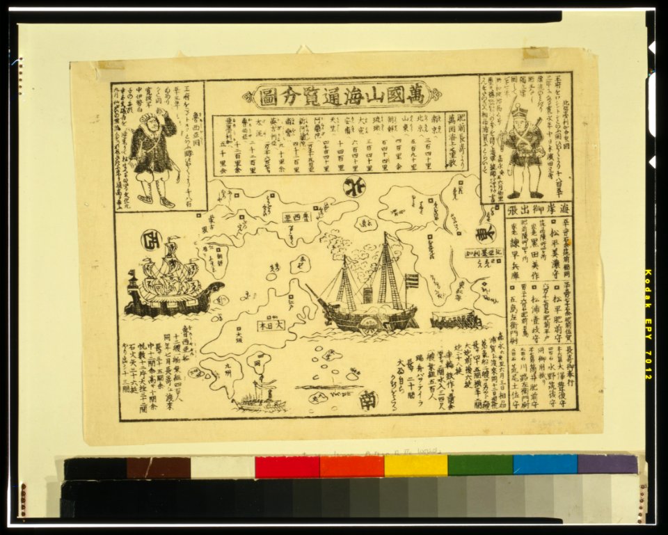
ukiyo-e by unknown artists
nagasaki-e
ukiyo-e by unknown artists
nagasaki-e
victor levasseur - maps of the world
frédéric-auguste laguillermie
residences of the house of lusignan
early netherlandish painting
201 - 300 of 72,641
Next page
/ 727